Approximate Location Map
Large Map »
Latitude: 53.1814 / 53°10'53"N
Longitude: -2.9906 / 2°59'26"W
OS Eastings: 333894
OS Northings: 365384
OS Grid: SJ338653
Mapcode National: GBR 76.3D25
Mapcode Global: WH88D.195D
Plus Code: 9C5V52J5+HQ
Entry Name: Manor House
Listing Date: 19 December 2000
Last Amended: 5 October 2005
Grade: II
Source: Cadw
Source ID: 24462
Building Class: Domestic
ID on this website: 300024462
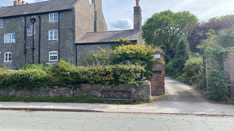
Location: Fronting the SE side of Manor Lane, on the W side of Hawarden Airport.
County: Flintshire
Community: Broughton and Bretton (Brychdyn a Bretton)
Community: Broughton and Bretton
Locality: Broughton
Built-Up Area: Broughton
Traditional County: Flintshire
Tagged with: House
Formerly part of the Hawarden (Gladstone) Estate. A lead drain hopper bears the date 1749, but a C17 door suggests a C18 remodelling of an older house, especially as the rear part of the double-pile main block has lower ceiling heights and some heavily chamfered beams. There is evidence of early C19, and late C19 work; the service ranges appear slightly different on the Tithe map of 1839. Formerly known as Manor Hall Farm, then Manor Hall by 1912.
Tall 3- and 4-storey double-pile house, with 2-storey blocks to each side. Roughcast elevations with some exposed brickwork; old slate roofs, roughcast external stacks to front range. Entrance faces away from road towards garden: symmetrical 3-storey 3-window range with central entrance; replaced panelled door under a plain overlight within a moulded wooden doorcase, flanked by canted bay windows with 12-pane hornless sashes. On upper floors, uPVC glazing imitating small-pane sashes; 9-pane windows on top floor, 12-pane windows on 1st floor. The rear range of main block, facing road, is 4-storey, with asymmetrical glazing of different periods, some under segmental heads. Ground floor has lean-to porch to R with half-glazed door; large uPVC kitchen window under segmental head to L, and 2 small wooden lights towards centre. 1st floor has 2 x 2-light wooden casements to L and uPVC window to R; 2nd floor has 2-light casements to far L and R and 3-light horizontal sliding sash to L of centre. Top floor has 3-light casement to L and 2-light casement to R; at mid-level is a 4-pane stairlight. Rainwater goods to R of centre with hopper dated '1749'.
Two-storey service range to L of front range of main house, with tall end stack. French doors to front, above which is a 3-light window, both with uPVC glazing. Blocked doorway to gable end, to R of stack. Rear, facing road, has 12-pane uPVC window. Former stable block to R of main house, set forward towards road, and now converted to accommodation. Roadside elevation is 3-window to upper storey with 2-light wooden casements; lateral brick stack to L of central window; lower storey has 2 windows with segmental heads. Brick gable end with no openings. Rear not seen, but in angle with main house there is said to be a C17 door with vertical boards (seen in 2000).
The interior, despite alterations to ground floor, retains many period features. In front range of main block, Georgian wooden stair (replaced on ground floor) with urn balusters. The stair-hall and L reception room are now open-plan. Six-panel doors with architraves to front range; 5-panel doors in rear range. Wooden panelling to windows. Rear range has chamfered cross- and spine-beams to ceiling; fireplaces rebuilt in brick. At 1st floor level, late C18-early C19 fireplaces. Early C19 built-in cupboard to bedroom. The C17 door is boarded horizontally on interior side, old iron strap hinges and bolts.
Listed as a large C18 brick house, probably with earlier origins, retaining much original character notwithstanding some alteration to window detail.
External links are from the relevant listing authority and, where applicable, Wikidata. Wikidata IDs may be related buildings as well as this specific building. If you want to add or update a link, you will need to do so by editing the Wikidata entry.


Other nearby listed buildings
