Approximate Location Map
Large Map »
Latitude: 53.2071 / 53°12'25"N
Longitude: -3.1334 / 3°8'0"W
OS Eastings: 324396
OS Northings: 368384
OS Grid: SJ243683
Mapcode National: GBR 70.1TM3
Mapcode Global: WH76Z.VN26
Plus Code: 9C5R6V48+VJ
Entry Name: Westminster Buildings
Listing Date: 15 August 2001
Last Amended: 15 August 2001
Grade: II
Source: Cadw
Source ID: 25693
Building Class: Domestic
ID on this website: 300025693
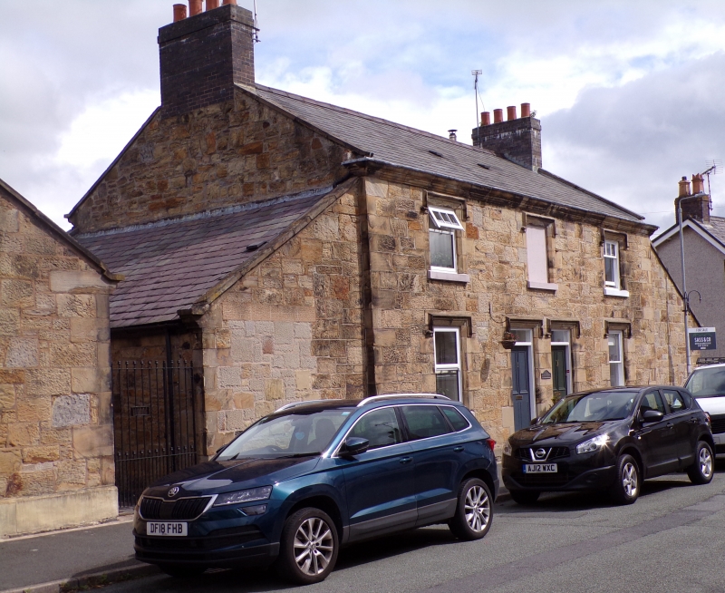
Location: A pair of cottages fronting the High Street with Westminster House to the L and Westminster Buildings to the R.
County: Flintshire
Town: Mold
Community: Northop (Llaneurgain)
Community: Northop
Built-Up Area: Northop
Traditional County: Flintshire
Tagged with: Architectural structure
Built by the Duke of Westminster's estate in 1869.
No access to interior at time of inspection.
Listed as a good example of C19 estate cottages in a highly prominent position in the High Street.
Group value with stable to L and Grosvenor House to R.
External links are from the relevant listing authority and, where applicable, Wikidata. Wikidata IDs may be related buildings as well as this specific building. If you want to add or update a link, you will need to do so by editing the Wikidata entry.


Other nearby listed buildings
