Approximate Location Map
Large Map »
Latitude: 52.7589 / 52°45'31"N
Longitude: -3.4557 / 3°27'20"W
OS Eastings: 301861
OS Northings: 318913
OS Grid: SJ018189
Mapcode National: GBR 6L.Z71F
Mapcode Global: WH67T.WXMB
Plus Code: 9C4RQG5V+HP
Entry Name: No. 2 Glyndu, Llanwddyn
Listing Date: 26 February 2003
Last Amended: 26 February 2003
Grade: II
Source: Cadw
Source ID: 80923
Building Class: Domestic
ID on this website: 300080923
Location: To the south side of the village road about 300 m from the south-east end of the Vyrnwy Dam.
County: Powys
Community: Llanwddyn
Community: Llanwddyn
Locality: Llanwddyn village
Traditional County: Montgomeryshire
Tagged with: Building
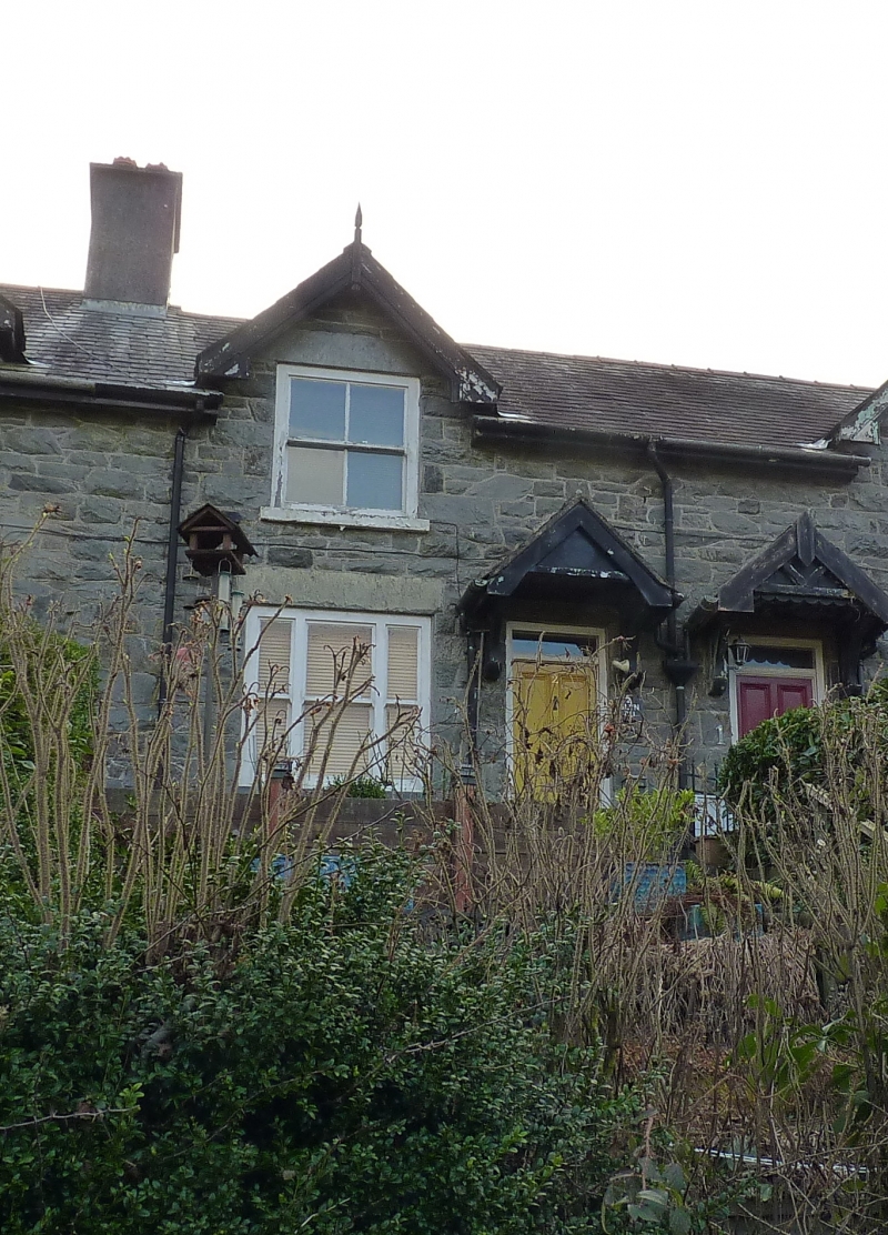
An early part of the village of Llanwddyn, built as workers housing for the Vyrnwy Reservoir. These cottages appear on the map of 1900.
No. 2 is the inner one of the smaller pair, to the right of the terrace
Part of a terrace of cottages in the new community based on the Vyrnwy Reservoir. A composed group of cottages of picturesque character.
External links are from the relevant listing authority and, where applicable, Wikidata. Wikidata IDs may be related buildings as well as this specific building. If you want to add or update a link, you will need to do so by editing the Wikidata entry.


Other nearby listed buildings
