Approximate Location Map
Large Map »
Latitude: 54.2646 / 54°15'52"N
Longitude: -0.8227 / 0°49'21"W
OS Eastings: 476780
OS Northings: 486081
OS Grid: SE767860
Mapcode National: GBR QMP4.P0
Mapcode Global: WHF9W.B2HH
Plus Code: 9C6X757G+VW
Entry Name: Range of Outbuildings Approximately 10 Metres East of Wrelton Hall
Listing Date: 27 August 1987
Grade: II
Source: Historic England
Source ID: 1149751
English Heritage Legacy ID: 382531
ID on this website: 101149751
Location: Wrelton, North Yorkshire, YO18
County: North Yorkshire
District: Ryedale
Civil Parish: Wrelton
Traditional County: Yorkshire
Lieutenancy Area (Ceremonial County): North Yorkshire
Church of England Parish: Middleton St Andrew
Church of England Diocese: York
Tagged with: Architectural structure
THE VILLAGE
SE 7686-7786 WRELTON
(north side)
17/113 Range of outbuildings
approximately 10 metres
east of Wrelton Hall
GV II
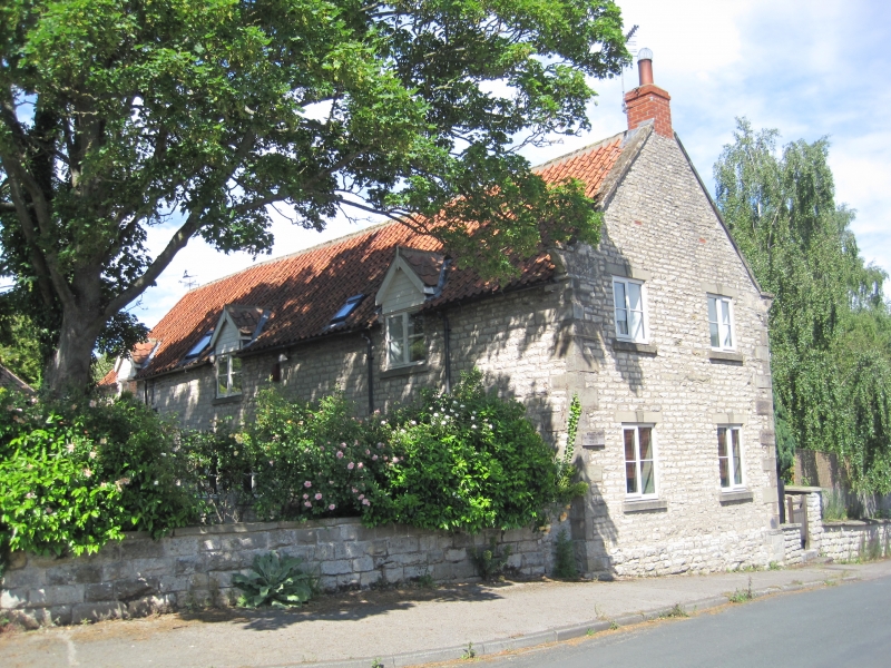
Barn with attached stable and carriage shed. Mid C18, extended in early
C19. Dressed limestone on plinth, with sandstone quoins and pantile roof.
2-storey, 2-bay barn front, with 1½-storey, 3-bay stable and carriage shed
extension at right, built gable-end on street on sloping ground. Barn:
double plank doors at left of centre and board door at end right. Ground-
floor ventilation slits. Single pitching window to loft. Timber lintels.
Stable and carriage shed: double plank doors to carriage shed; stable door
and 4-pane pivoting window to left. Shuttered pitching window over stable
door. Coped gables and shaped kneelers. Rear: 6-panel door with tooled
lintel to stable. Left gable end on street: ground-floor ventilation slits
and square pitching opening in gable end. Included for group value.
Listing NGR: SE7678086081
External links are from the relevant listing authority and, where applicable, Wikidata. Wikidata IDs may be related buildings as well as this specific building. If you want to add or update a link, you will need to do so by editing the Wikidata entry.


Other nearby listed buildings
