Approximate Location Map
Large Map »
Latitude: 52.0526 / 52°3'9"N
Longitude: -2.7187 / 2°43'7"W
OS Eastings: 350811
OS Northings: 239595
OS Grid: SO508395
Mapcode National: GBR FL.DS84
Mapcode Global: VH85N.TNKW
Plus Code: 9C4V373J+2G
Entry Name: Wye Bridge
Listing Date: 10 June 1952
Grade: I
Source: Historic England
Source ID: 1196768
English Heritage Legacy ID: 372182
ID on this website: 101196768
Location: Blackmarstone, County of Herefordshire, HR2
County: County of Herefordshire
Civil Parish: Hereford
Built-Up Area: Hereford
Traditional County: Herefordshire
Lieutenancy Area (Ceremonial County): Herefordshire
Church of England Parish: Hereford St Nicholas
Church of England Diocese: Hereford
Tagged with: Road bridge
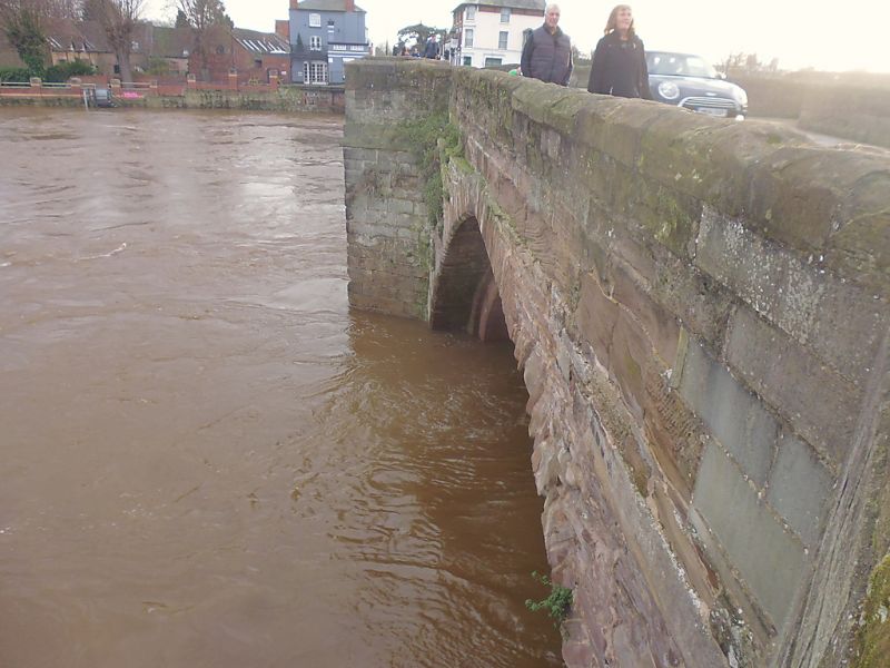
HEREFORD
SO5039NE Wye Bridge
683-1/2/4
10/06/52
GV I
Bridge. Late C15, widened 1826. Ashlar sandstone. 6 arches, 1
rebuilt C17; V-shaped cutwaters with refuges over; bands;
chamfered ashlar coping.
(Johnson R: Ancient Customs of Hereford: 1882-: 55-56; RCHME:
127).
Listing NGR: SO5081139595
External links are from the relevant listing authority and, where applicable, Wikidata. Wikidata IDs may be related buildings as well as this specific building. If you want to add or update a link, you will need to do so by editing the Wikidata entry.


Other nearby listed buildings
