Approximate Location Map
Large Map »
Latitude: 51.0708 / 51°4'14"N
Longitude: 1.0796 / 1°4'46"E
OS Eastings: 615842
OS Northings: 134677
OS Grid: TR158346
Mapcode National: GBR V0L.XCQ
Mapcode Global: FRA F649.4DX
Plus Code: 9F3333CH+8R
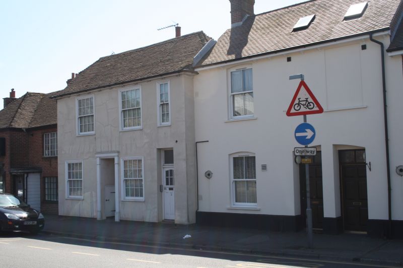
Entry Name: 7 and 7A, Dymchurch Road
Listing Date: 21 December 1973
Grade: II
Source: Historic England
Source ID: 1068977
English Heritage Legacy ID: 175097
ID on this website: 101068977
Location: Hythe, Folkestone and Hythe, Kent, CT21
County: Kent
District: Folkestone and Hythe
Civil Parish: Hythe
Built-Up Area: Hythe
Traditional County: Kent
Lieutenancy Area (Ceremonial County): Kent
Tagged with: Building
1.
1253 DYMCHURCH ROAD
(South Side)
Nos 7 and 7A
TR 1534 NE 1/71B
II GV
2.
Early C19. 2 storeys painted brick. Steeply pitched tiled roofs with modillion
cornice. 3 sashes with glazing bars intact. Shop fronts.
Red Lion Public House and Nos 3 to 7A (odd) form a group.
Listing NGR: TR1584234677
External links are from the relevant listing authority and, where applicable, Wikidata. Wikidata IDs may be related buildings as well as this specific building. If you want to add or update a link, you will need to do so by editing the Wikidata entry.


Other nearby listed buildings
