Approximate Location Map
Large Map »
Latitude: 51.1461 / 51°8'46"N
Longitude: 0.6587 / 0°39'31"E
OS Eastings: 586059
OS Northings: 141901
OS Grid: TQ860419
Mapcode National: GBR QV8.5B9
Mapcode Global: VHJN2.CGL7
Plus Code: 9F324MW5+FF
Entry Name: Weatherboarded Barn to South West of Barnden
Listing Date: 10 October 1980
Grade: II
Source: Historic England
Source ID: 1104847
English Heritage Legacy ID: 181168
ID on this website: 101104847
Location: Monk's Hill, Ashford, Kent, TN27
County: Kent
District: Ashford
Civil Parish: Smarden
Traditional County: Kent
Lieutenancy Area (Ceremonial County): Kent
Tagged with: Building Thatched barn
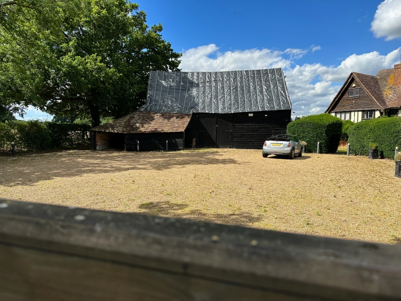
1.
5272 SMARDEN BELL LANE
Weatherboarded barn to
TQ 8641 30/60A south-west of Barnden
II
2.
C18. Weatherboarded barn with thatched roof.
Listing NGR: TQ8605941901
External links are from the relevant listing authority and, where applicable, Wikidata. Wikidata IDs may be related buildings as well as this specific building. If you want to add or update a link, you will need to do so by editing the Wikidata entry.


Other nearby listed buildings
