Approximate Location Map
Large Map »
Latitude: 51.4134 / 51°24'48"N
Longitude: -1.5162 / 1°30'58"W
OS Eastings: 433740
OS Northings: 168374
OS Grid: SU337683
Mapcode National: GBR 706.7H0
Mapcode Global: VHC1S.NQSV
Plus Code: 9C3WCF7M+9G
Entry Name: 38, High Street
Listing Date: 8 June 1984
Grade: II
Source: Historic England
Source ID: 1210683
English Heritage Legacy ID: 395287
ID on this website: 101210683
Location: Hungerford, West Berkshire, RG17
County: West Berkshire
Civil Parish: Hungerford
Built-Up Area: Hungerford
Traditional County: Berkshire
Lieutenancy Area (Ceremonial County): Berkshire
Church of England Parish: Hungerford with Denford
Church of England Diocese: Oxford
Tagged with: Building
HUNGERFORD HIGH STREET (West side)
SU 3368
18/51 No.38
G.V. II
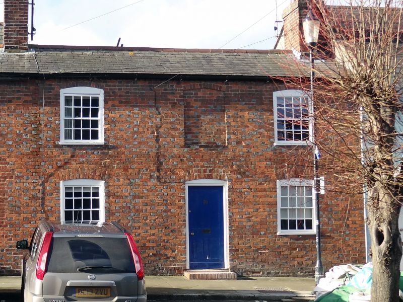
House. Early C19. Slate roof, chimney to right, brick walls grey headers
and red stretchers and dressings. 2 storeys. 2 glazing bar sashes with
exposed frames and cambered heads flanking blank panel above central 4
panel door with flat hood.
Listing NGR: SU3374068374
External links are from the relevant listing authority and, where applicable, Wikidata. Wikidata IDs may be related buildings as well as this specific building. If you want to add or update a link, you will need to do so by editing the Wikidata entry.


Other nearby listed buildings
