Latitude: 50.6803 / 50°40'49"N
Longitude: -3.4641 / 3°27'50"W
OS Eastings: 296658
OS Northings: 87762
OS Grid: SX966877
Mapcode National: GBR P3.3S03
Mapcode Global: FRA 37M8.XYR
Plus Code: 9C2RMGJP+49
Entry Name: 51, the Strand
Listing Date: 18 June 1974
Grade: II
Source: Historic England
Source ID: 1224134
English Heritage Legacy ID: 420118
ID on this website: 101224134
Location: Topsham, Exeter, Devon, EX3
County: Devon
District: Exeter
Electoral Ward/Division: Topsham
Parish: Non Civil Parish
Built-Up Area: Topsham
Traditional County: Devon
Lieutenancy Area (Ceremonial County): Devon
Church of England Parish: Topsham St Margaret
Church of England Diocese: Exeter
Tagged with: Building
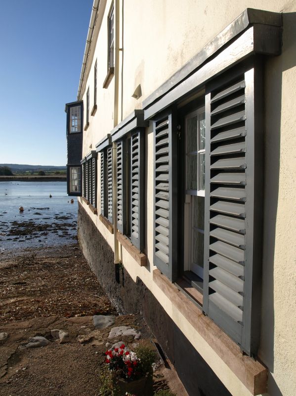
THE STRAND 1. 1092 (West Side) TOPSHAM No 51 SX 9688 9/1195 II GV 2. Early C19 limestone warehouse converted to single dwelling 1968. 2 storey cottage row, built at right angles to Strand and projecting into estuary. Stone base, stucco above. Wood casements. Five bays. Slate roof. Included for group value. All the listed buildings of the Strand form a group.
Listing NGR: SX9665887762
External links are from the relevant listing authority and, where applicable, Wikidata. Wikidata IDs may be related buildings as well as this specific building. If you want to add or update a link, you will need to do so by editing the Wikidata entry.


Other nearby listed buildings