Approximate Location Map
Large Map »
Latitude: 53.7963 / 53°47'46"N
Longitude: -2.2984 / 2°17'54"W
OS Eastings: 380441
OS Northings: 433371
OS Grid: SD804333
Mapcode National: GBR DSDJ.6W
Mapcode Global: WH96R.NVQ2
Plus Code: 9C5VQPW2+GJ
Entry Name: Boundary Stone at SD 8046 3337
Listing Date: 12 February 1985
Grade: II
Source: Historic England
Source ID: 1274248
English Heritage Legacy ID: 414862
ID on this website: 101274248
Location: Habergham, Burnley, Lancashire, BB12
County: Lancashire
District: Burnley
Civil Parish: Padiham
Built-Up Area: Burnley
Traditional County: Lancashire
Lieutenancy Area (Ceremonial County): Lancashire
Church of England Parish: Burnley West All Saints St John the Baptist
Church of England Diocese: Blackburn
Tagged with: Boundary marker
SD 83 SW PADIHAM BURNLEY ROAD (north side)
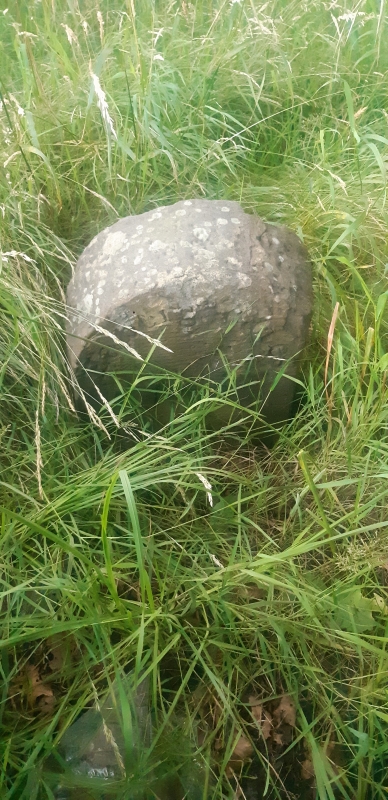
4/30 Boundary stone at SD 8046 3337
-
- II
Township boundary stone, probably early C19. Sandstone. Flat faced with
semi-circular top. Front face inscribed 'Padiham'; rear face inscribed
'Habergm eaves'.
Listing NGR: SD8044133371
External links are from the relevant listing authority and, where applicable, Wikidata. Wikidata IDs may be related buildings as well as this specific building. If you want to add or update a link, you will need to do so by editing the Wikidata entry.


Other nearby listed buildings
