Approximate Location Map
Large Map »
Latitude: 55.5549 / 55°33'17"N
Longitude: -3.6424 / 3°38'32"W
OS Eastings: 296494
OS Northings: 630247
OS Grid: NS964302
Mapcode National: GBR 3406.7K
Mapcode Global: WH5T6.0MTX
Plus Code: 9C7RH935+X3
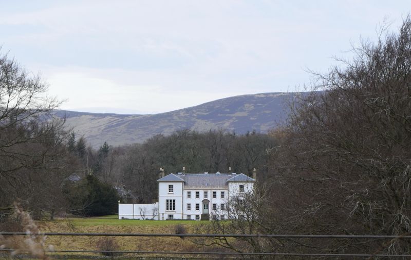
Entry Name: Hardington House
Listing Name: Hardington House
Listing Date: 12 January 1971
Category: B
Source: Historic Scotland
Source ID: 347487
Historic Scotland Designation Reference: LB14194
Building Class: Cultural
ID on this website: 200347487
Location: Wiston and Roberton
County: South Lanarkshire
Electoral Ward: Clydesdale East
Parish: Wiston And Roberton
Traditional County: Lanarkshire
Tagged with: House
Dated 1720 over doorway. Victorian additional wings and
recasting.
External links are from the relevant listing authority and, where applicable, Wikidata. Wikidata IDs may be related buildings as well as this specific building. If you want to add or update a link, you will need to do so by editing the Wikidata entry.


Other nearby listed buildings
