Approximate Location Map
Large Map »
Latitude: 51.9475 / 51°56'50"N
Longitude: -3.4979 / 3°29'52"W
OS Eastings: 297147
OS Northings: 228721
OS Grid: SN971287
Mapcode National: GBR YJ.MK0J
Mapcode Global: VH5FG.B95X
Plus Code: 9C3RWGW2+XV
Entry Name: Sundial on lawn to S of Penpont
Listing Date: 18 January 2002
Last Amended: 27 May 2005
Grade: II
Source: Cadw
Source ID: 26098
Building Class: Gardens, Parks and Urban Spaces
ID on this website: 300026098
Location: Situated on sloping lawn SE of conservatory at Penpont.
County: Powys
Town: Brecon
Community: Trallong
Community: Trallong
Locality: Penpont
Traditional County: Brecknockshire
Tagged with: Sundial
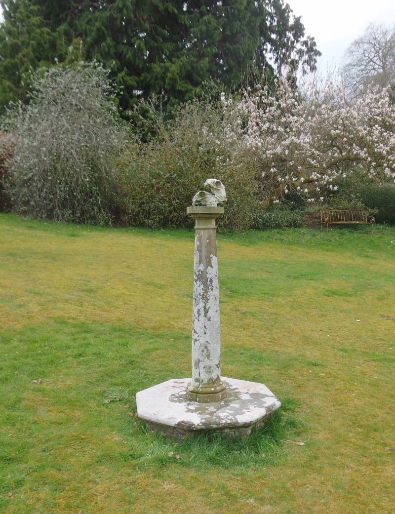
A sundial is known to have been set up in 1778.
Sundial, grey stone, on moulded octagonal base. Tapering octagonal column with moulded cap and base. Flat top has brass dial and gnomon with eroded inscriptions.
Included as a small C18 stone sundial and for group value with adjacent listed structures.
External links are from the relevant listing authority and, where applicable, Wikidata. Wikidata IDs may be related buildings as well as this specific building. If you want to add or update a link, you will need to do so by editing the Wikidata entry.


Other nearby listed buildings
