Approximate Location Map
Large Map »
Latitude: 52.8252 / 52°49'30"N
Longitude: -3.3031 / 3°18'11"W
OS Eastings: 312293
OS Northings: 326090
OS Grid: SJ122260
Mapcode National: GBR 6S.V24S
Mapcode Global: WH78V.77CZ
Plus Code: 9C4RRMGW+3Q
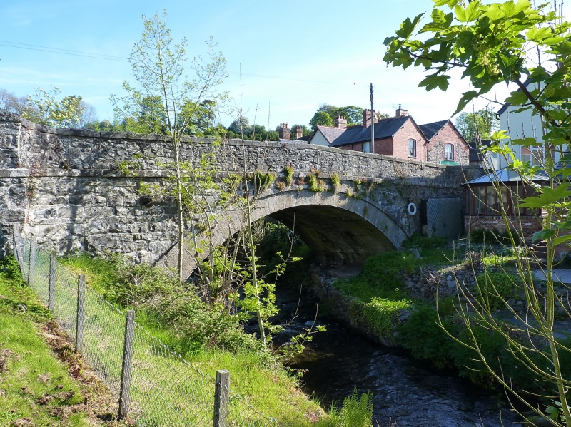
Entry Name: Llanrhaeadr-ym-Mochnant Bridge (partly in the Community of Llanrhaeadr-ym-Mochnant (South))
Listing Date: 14 August 2003
Last Amended: 29 August 2003
Grade: II
Source: Cadw
Source ID: 81824
Building Class: Transport
ID on this website: 300081824
Location: Over Afon Rhaeadr in the village of Llanrhaeadr-ym-Mochnant.
County: Powys
Community: Llanrhaeadr-ym-Mochnant
Community: Llanrhaeadr-ym-Mochnant
Locality: Llanrhaeadr-ym-Mochnant village
Built-Up Area: Llanrhaeadr-ym-Mochnant
Traditional County: Denbighshire
Tagged with: Bridge
For full description of this bridge see the Community of Llanrhaeadr-ym-Mochnant (South) Record No.81780
External links are from the relevant listing authority and, where applicable, Wikidata. Wikidata IDs may be related buildings as well as this specific building. If you want to add or update a link, you will need to do so by editing the Wikidata entry.


Other nearby listed buildings
