Approximate Location Map
Large Map »
Latitude: 51.0042 / 51°0'15"N
Longitude: -0.9356 / 0°56'8"W
OS Eastings: 474777
OS Northings: 123298
OS Grid: SU747232
Mapcode National: GBR CC3.XZR
Mapcode Global: FRA 86XG.C9T
Plus Code: 9C3X2337+MQ
Entry Name: Garden Wall to North of Winton House
Listing Date: 19 February 1973
Grade: II
Source: Historic England
Source ID: 1093585
English Heritage Legacy ID: 141338
ID on this website: 101093585
Location: Petersfield, East Hampshire, GU31
County: Hampshire
District: East Hampshire
Civil Parish: Petersfield
Built-Up Area: Petersfield
Traditional County: Hampshire
Lieutenancy Area (Ceremonial County): Hampshire
Church of England Parish: Petersfield St Peter
Church of England Diocese: Portsmouth
Tagged with: Wall
HIGH STREET
1.
1501
(North Side)
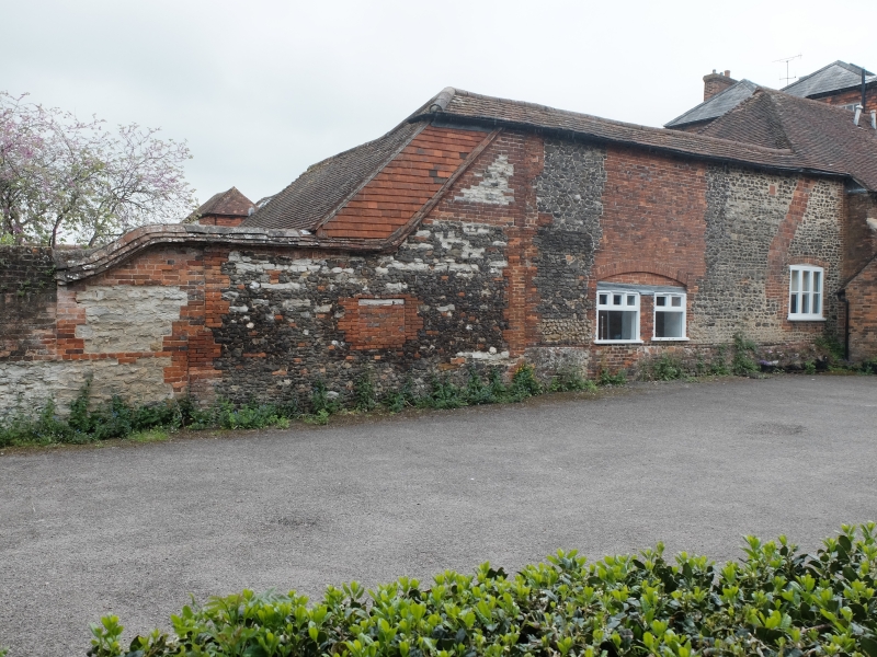
Garden wall to North
of Winton House
SU 7423 3/47A
II
2.
Old wall of brick and stone, ramped high up the side of rear extension
to house.
Listing NGR: SU7478023265
External links are from the relevant listing authority and, where applicable, Wikidata. Wikidata IDs may be related buildings as well as this specific building. If you want to add or update a link, you will need to do so by editing the Wikidata entry.


Other nearby listed buildings
