Latitude: 53.8708 / 53°52'15"N
Longitude: -2.3932 / 2°23'35"W
OS Eastings: 374245
OS Northings: 441698
OS Grid: SD742416
Mapcode National: GBR CRQP.P4
Mapcode Global: WH96B.6YNX
Plus Code: 9C5VVJC4+8P
Entry Name: Clitheroe Castle
Listing Date: 19 May 1950
Grade: I
Source: Historic England
Source ID: 1071553
English Heritage Legacy ID: 182766
ID on this website: 101071553
Location: Clitheroe, Ribble Valley, Lancashire, BB7
County: Lancashire
District: Ribble Valley
Civil Parish: Clitheroe
Built-Up Area: Clitheroe
Traditional County: Lancashire
Lieutenancy Area (Ceremonial County): Lancashire
CASTLE GATE 1. 5295 (South-West Side) ----------------- Clitheroe Castle SD 7441 1/2 19.5.50. GV
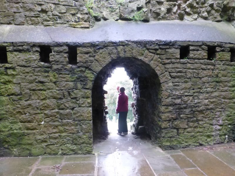
2. A castle noted in Domesday Book. Consists principally of a small C12 square tower keep with flat corner turrets, 1 of which contains a staircase. Entrance, originally into the 2nd storey, is now by breaches into the ground storey. All floors appear to have been of wood. The keep is advantageously placed on a steep crag. The inner bailey must have been to the South and fragments of ancient walls and masonry are to be seen in the park and incorporated into buildings, stables and offices (qv). AM.
Clitheroe Castle, Premises occupied by Ribble Valley Borough Council and Outbuilding and Stable block form a group.
Listing NGR: SD7424541698


Other nearby listed buildings