Latitude: 51.4111 / 51°24'40"N
Longitude: -0.3085 / 0°18'30"W
OS Eastings: 517736
OS Northings: 169371
OS Grid: TQ177693
Mapcode National: GBR 78.YQC
Mapcode Global: VHGR8.LSSL
Plus Code: 9C3XCM6R+FJ
Entry Name: Kingston Bridge
Listing Date: 30 July 1951
Grade: II*
Source: Historic England
Source ID: 1300232
English Heritage Legacy ID: 203099
ID on this website: 101300232
Location: Kingston upon Thames, London, KT1
County: London
District: Kingston upon Thames
Electoral Ward/Division: Grove
Parish: Non Civil Parish
Built-Up Area: Kingston upon Thames
Traditional County: Surrey
Lieutenancy Area (Ceremonial County): Greater London
Church of England Parish: All Saints, Kingston-on-Thames
Church of England Diocese: Southwark
TQ 1769 SE KINGSTON-UPON-THAMES CLARENCE STREET
6/37 Kingston Bridge 30.7.51 II*
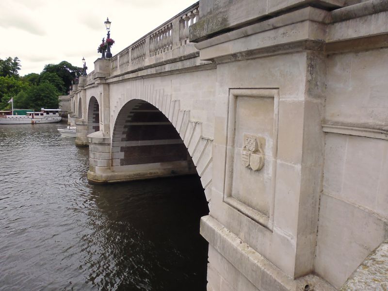
1825-28, by Edward Lapidge. Opened by the Duchess of Clarence (later Queen Adelaide). Portland stone. 5 rusticated arches, the centre one with an armorial keystone; bold cornice and balustraded parapet. Semi-circular cutwaters carry flat panelled piers surmounted by little balcony projections breaking forward from the balustrade. Widened in 1914. One original cast iron lamp standard remains. (Half is in the Borough of Richmond-on-Thames).
Listing NGR: TQ1774369373


Other nearby listed buildings