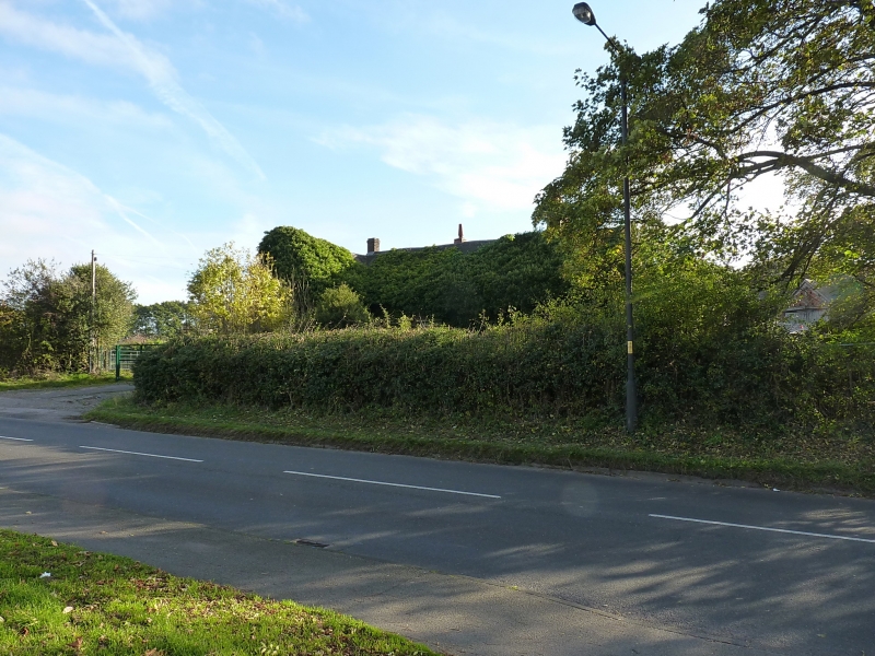
Approximate Location Map
Large Map »
Latitude: 52.5951 / 52°35'42"N
Longitude: -1.931 / 1°55'51"W
OS Eastings: 404767
OS Northings: 299705
OS Grid: SP047997
Mapcode National: GBR 3DB.BL2
Mapcode Global: WHBG2.91PB
Plus Code: 9C4WH3W9+2H
Entry Name: Bosty Lane Farmhouse and Farm Building Adjoining to East
Listing Date: 31 July 1986
Grade: II
Source: Historic England
Source ID: 1076384
English Heritage Legacy ID: 219043
ID on this website: 101076384
Location: Walsall, West Midlands, WS9
County: Walsall
Electoral Ward/Division: Aldridge Central and South
Parish: Non Civil Parish
Built-Up Area: Aldridge
Traditional County: Staffordshire
Lieutenancy Area (Ceremonial County): West Midlands
Church of England Parish: Aldridge St Mary the Virgin
Church of England Diocese: Lichfield
Tagged with: Farmhouse
WALSALL MB BOSTY LANE
SP 09 NW
Aldridge
7/8
Bosty Lane Farmhouse
and farm building
adjoining to east
GV II
House. Early C18, and farm building mid-C19. Brick with slate roof.
House of two storeys and three bays. Windows have casements with
glazing bars. Ground floor window of second bay has segmental head.
Door, to right of first bay, has mid-C19 timber doorcase. Chimney to
right of second bay. At the right the gable of the adjoining farm
building projects forwards and has a pitching hole on the first floor with
segmental arch. The left-hand return wall has a five-bay arcade with
segmental arches and brick piers, opening into a cart shed. Interior:
the right-hand bay of the house contains a sunken dairy. The middle room
has a chamfered axial main beam and exposed common joists. An inglenook
recess has a boxed bressummer. The left-hand room has a boxed axial beam.
Listing NGR: SP0476799705
External links are from the relevant listing authority and, where applicable, Wikidata. Wikidata IDs may be related buildings as well as this specific building. If you want to add or update a link, you will need to do so by editing the Wikidata entry.


Other nearby listed buildings
