Latitude: 52.6316 / 52°37'53"N
Longitude: 1.2991 / 1°17'56"E
OS Eastings: 623356
OS Northings: 308875
OS Grid: TG233088
Mapcode National: GBR W9W.9S
Mapcode Global: WHMTM.X3TV
Plus Code: 9F43J7JX+MM
Entry Name: Erpingham Gate
Listing Date: 5 June 1972
Grade: I
Source: Historic England
Source ID: 1372788
English Heritage Legacy ID: 228978
ID on this website: 101372788
Location: The Close, Norwich, Norfolk, NR3
County: Norfolk
District: Norwich
Electoral Ward/Division: Thorpe Hamlet
Parish: Non Civil Parish
Built-Up Area: Norwich
Traditional County: Norfolk
Lieutenancy Area (Ceremonial County): Norfolk
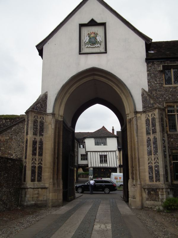
TG 2308 NW THE CLOSE 16/229 5.6.72 Erpingham Gate. GV I Gateway. 1420 restored in the C19 and C20. Flint and stone. Large 2-centre arch with 3 orders of mouldings with 2 bands of figures between towards Tombland. The arch is flanked by two carved panelled polygonal buttresses to spandrel height. Shields in the spandrels. Gable with central statue niche, kneeler statues capping the buttress. Apex Cross. Scheduled as an Ancient Monument.
Listing NGR: TG2335708874


Other nearby listed buildings