Latitude: 54.9673 / 54°58'2"N
Longitude: -1.609 / 1°36'32"W
OS Eastings: 425130
OS Northings: 563702
OS Grid: NZ251637
Mapcode National: GBR SPX.Y5
Mapcode Global: WHC3R.8D2T
Plus Code: 9C6WX98R+WC
Entry Name: High Level Bridge
Listing Date: 14 June 1950
Grade: I
Source: Historic England
Source ID: 1355287
English Heritage Legacy ID: 304810
ID on this website: 101355287
Location: Newcastle upon Tyne, NE1
County: Newcastle upon Tyne
Electoral Ward/Division: Westgate
Built-Up Area: Newcastle upon Tyne
Traditional County: Northumberland
Lieutenancy Area (Ceremonial County): Tyne and Wear
Church of England Parish: St Nicholas Newcastle-upon-Tyne
Church of England Diocese: Newcastle
NZ 2563 NW NEWCASTLE UPON TYNE RIVER TYNE
24/477 High Level Bridge
14/6/50
G.V. I
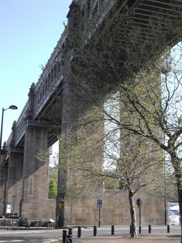
Railway and road bridge. 1845-9 by Robert Stephenson for York, Newcastle and
Berwick Railway Company. Sandstone ashlar piers; and approach viaducts; cast
iron arch ribs and columns above them supporting rail deck; wrought iron hangers
from arches hold road deck. 6 bowstring arches, each with 4 ribs of 125 ft.
span; cross bracing to columns supporting rail deck. Moulded beam supports road-
way; hangers and columns are panelled; openwork parapets to both levels, and
paired lampholders on piers at railway level. In continuing use for road and rail
traffic; one of the finest pieces of architectural iron work in the world. Often
said to have been partly designed by John Dobson, but there is no evidence for
this: he was one of several designers of other proposed high level bridges.
Listing NGR: NZ2513063702
This text is from the original listing, and may not necessarily reflect the current setting of the building.


Other nearby listed buildings