Latitude: 53.7113 / 53°42'40"N
Longitude: -1.1744 / 1°10'27"W
OS Eastings: 454590
OS Northings: 424187
OS Grid: SE545241
Mapcode National: GBR NT7J.KC
Mapcode Global: WHDC2.XZY8
Plus Code: 9C5WPR6G+G6
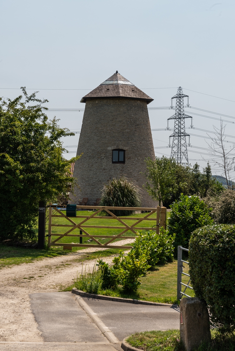
Entry Name: Kellington Windmill
Listing Date: 9 April 1987
Grade: II
Source: Historic England
Source ID: 1148404
English Heritage Legacy ID: 326483
ID on this website: 101148404
Location: Kellington, North Yorkshire, DN14
County: North Yorkshire
District: Selby
Civil Parish: Kellington
Traditional County: Yorkshire
Lieutenancy Area (Ceremonial County): North Yorkshire
Church of England Parish: Kellington St Edmund
Church of England Diocese: Leeds
Tagged with: Windmill
KELLINGTON WEELAND ROAD SE 52 SW (south side) 2/10 Kellington Windmill
- II Windmill. Late C18 - early C19. Magnesian limestone rubble, partly rendered with brick infill and concealed roof. Entrances to each side have plank doors. Casement windows to sides all under segmental arches. Cap missing.
Listing NGR: SE5459024187
External links are from the relevant listing authority and, where applicable, Wikidata. Wikidata IDs may be related buildings as well as this specific building. If you want to add or update a link, you will need to do so by editing the Wikidata entry.


Other nearby listed buildings