Latitude: 50.6327 / 50°37'57"N
Longitude: -1.2524 / 1°15'8"W
OS Eastings: 452969
OS Northings: 81714
OS Grid: SZ529817
Mapcode National: GBR 9DP.85R
Mapcode Global: FRA 878D.FX6
Plus Code: 9C2WJPMX+32
Entry Name: Methodist Church
Listing Date: 22 November 1993
Grade: II
Source: Historic England
Source ID: 1292731
English Heritage Legacy ID: 392771
Also known as: Godshill Methodist Church
ID on this website: 101292731
Location: Godshill, Isle of Wight, PO38
County: Isle of Wight
Civil Parish: Godshill
Built-Up Area: Godshill
Traditional County: Hampshire
Lieutenancy Area (Ceremonial County): Isle of Wight
Church of England Parish: Godshill All Saints
Church of England Diocese: Portsmouth
Tagged with: Protestant church building
GODSHILL
SZ5268 HIGH STREET 1353-0/7/168 (North East side) Methodist Church
GV II
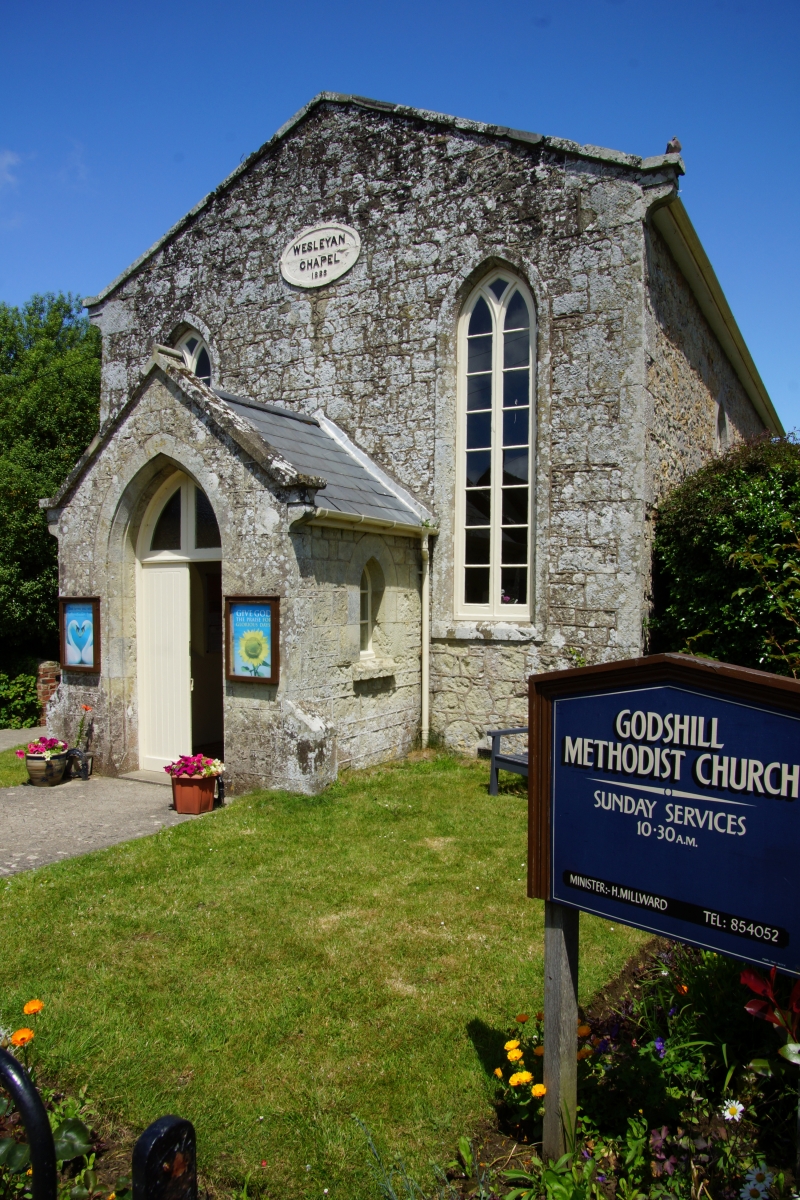
Chapel. Built in 1838 as a Wesleyan chapel. Built of Isle of Wight stone rubble with ashlar quoins, slate roof. Shallow pitched gable with kneelers, oval tablet and 2 tall Y tracery lancets. Pointed arched double door with footscrapers. 2 Y tracery lancets to side elevation. (B.O.E. "Hampshire and the Isle of Wight": 747).
Listing NGR: SZ5296981714
External links are from the relevant listing authority and, where applicable, Wikidata. Wikidata IDs may be related buildings as well as this specific building. If you want to add or update a link, you will need to do so by editing the Wikidata entry.


Other nearby listed buildings