Latitude: 51.0077 / 51°0'27"N
Longitude: -2.7139 / 2°42'50"W
OS Eastings: 350006
OS Northings: 123391
OS Grid: ST500233
Mapcode National: GBR MK.JXYW
Mapcode Global: FRA 566G.2HY
Plus Code: 9C3V275P+3C
Entry Name: Pill Bridge
Listing Date: 19 April 1961
Grade: II
Source: Historic England
Source ID: 1223184
English Heritage Legacy ID: 418777
ID on this website: 101223184
Location: Somerset, BA22
County: Somerset
District: South Somerset
Civil Parish: Long Sutton
Built-Up Area: Ilchester
Traditional County: Somerset
Lieutenancy Area (Ceremonial County): Somerset
ST52SW
ILCHESTER CP
PILL BRIDGE LANE (off)
4/73
Pill Bridge
19.4.61
- II
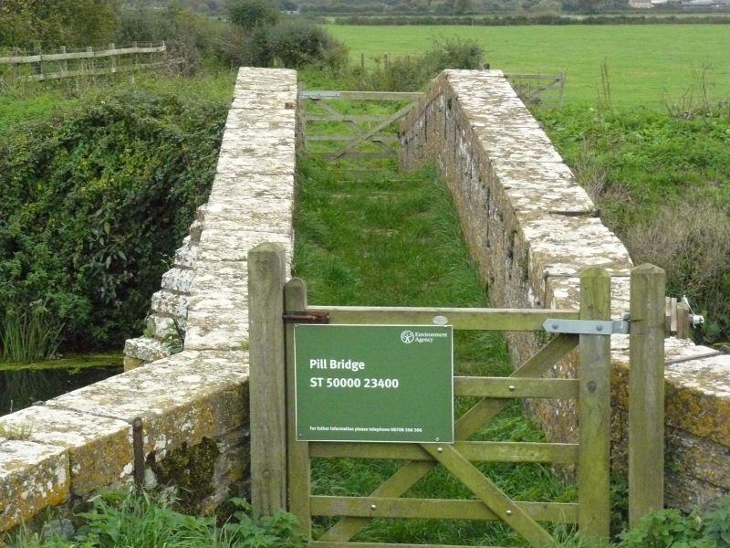
Pack horse bridge. C17. Local lias stone cut and squared. Three semi-circular arched bridge over the River Ivel, only
1.3 metres wide between high parapets; two piers on each side. First bridge recorded on this site in early C13, and
represents the medieval route to Long Sutton and Langport, now an overgrown green lane. A warehouse stood nearby by
1699, and a toll house nearby (existing until 1805). Scheduled Ancient Monument (Somerset County No. 186). (VCH, Vol
III, 1974); Buchanan, CA and RA, Batsford Guide to Industrial Archaeology and Southern England, 1980).
Listing NGR: ST5000623391


Other nearby listed buildings