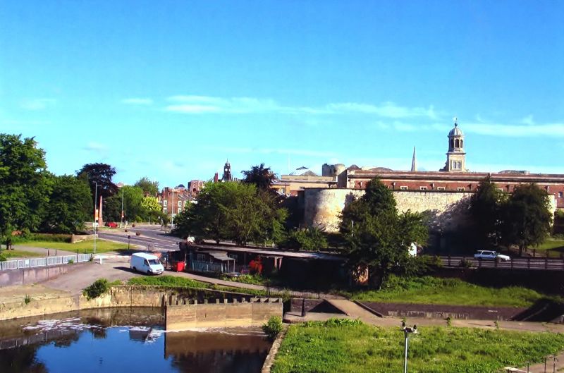
Latitude: 53.9541 / 53°57'14"N
Longitude: -1.0779 / 1°4'40"W
OS Eastings: 460605
OS Northings: 451279
OS Grid: SE606512
Mapcode National: GBR NQXQ.FB
Mapcode Global: WHFC3.DWX3
Plus Code: 9C5WXW3C+JR
Entry Name: Castle Mills Lock
Listing Date: 14 March 1997
Grade: II
Source: Historic England
Source ID: 1259357
English Heritage Legacy ID: 462989
ID on this website: 101259357
Location: Clementhorpe, York, North Yorkshire, YO10
County: York
Electoral Ward/Division: Fishergate
Parish: Non Civil Parish
Built-Up Area: York
Traditional County: Yorkshire
Lieutenancy Area (Ceremonial County): North Yorkshire
Church of England Parish: York St Lawrence with St Nicholas
Church of England Diocese: York
Tagged with: Architectural structure Lock
YORK
SE6051SE CASTLE MILLS 1112-1/22/128 (South side (off)) Castle Mills Lock
II
Canal lock chamber. Rebuilt in 1889. Gritstone with some concrete repair. Near the centre of the chamber there are recesses in each side wall, with grooves for stop planks. The double timber gates are a C20 renewal, but C19 cast-iron winding and paddle gear remains. HISTORICAL NOTE: the Foss Navigation Act was passed in 1793, and the canal was opened as far as Strensall in c1796. In 1859 York Corporation gained an Act to abandon the Foss Navigation except for just over one mile in York. In 1889 the Corporation rebuilt Castle Mills lock for Henry Leetham and Sons, flour millers, to take steam keels 97' x 18'6" carrying 230 tons. (Paget-Tomlinson EW: The Complete Book of Canal and River Navigations: Wolverhampton: 1978-: 126).
Listing NGR: SE6060551279
External links are from the relevant listing authority and, where applicable, Wikidata. Wikidata IDs may be related buildings as well as this specific building. If you want to add or update a link, you will need to do so by editing the Wikidata entry.


Other nearby listed buildings