History in Structure

Donald's Grave, on South Side of Road 10 Metres East of Track to Slaley Hall

A Grade II Listed Building in Healey, Northumberland

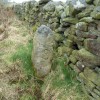
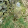
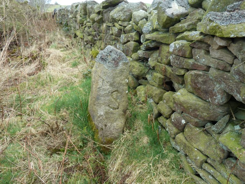
Donald's Grave - Boundry Stone - as viewed from the West

Uploader's Comments

Donald's Grave Boundry Stone as viewed from the West, showing the "S" and the sideways "A". The "S" possibly is the name Silvertop, a local coal owing family that owned the nearby estate called Minsteracres.

Uploaded by John Lawson on 15 March 2012

Photo ID: 39089
Building ID: 101045376
Report this photo

Photo Navigator

BritishListedBuildings.co.uk is an independent online resource and is not associated with any government department. All government data published here is used under licence. Please do not contact BritishListedBuildings.co.uk for any queries related to any individual listed building, planning permission related to listed buildings or the listing process itself.

British Listed Buildings is a Good Stuff website.