Approximate Location Map
Large Map »
Latitude: 52.1904 / 52°11'25"N
Longitude: -2.5068 / 2°30'24"W
OS Eastings: 365449
OS Northings: 254805
OS Grid: SO654548
Mapcode National: GBR FV.44SY
Mapcode Global: VH856.H6LP
Plus Code: 9C4V5FRV+57
Entry Name: The Vicarage
Listing Date: 25 October 1951
Grade: II
Source: Historic England
Source ID: 1349647
English Heritage Legacy ID: 151058
ID on this website: 101349647
Location: Bromyard, County of Herefordshire, HR7
County: County of Herefordshire
Civil Parish: Bromyard and Winslow
Built-Up Area: Bromyard
Traditional County: Herefordshire
Lieutenancy Area (Ceremonial County): Herefordshire
Church of England Parish: Bromyard
Church of England Diocese: Hereford
Tagged with: Clergy house
1.
1962 BROMYARD BROMYARD
ROWBERRY STREET
The Vicarage
SO 6554 1/233
II
2.
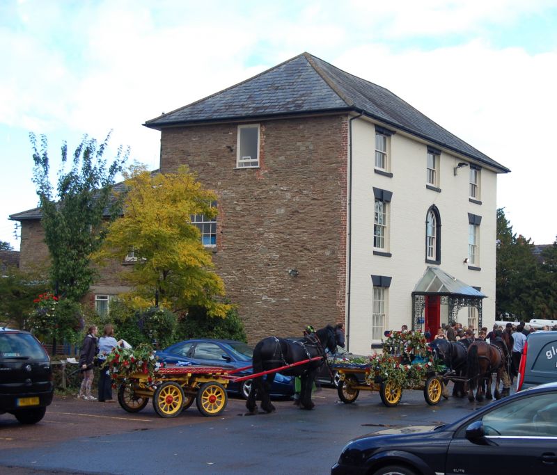
C18 and later. A large 3 storey house, stucco with hipped slate roof.
painted rubble at rear. On east front is a central window with semi-circular
head and Georgian Gothick glazing bars. Tall door in panelled reveals
with Regency trellised porch and lead canopy roof.
Listing NGR: SO6544954805
External links are from the relevant listing authority and, where applicable, Wikidata. Wikidata IDs may be related buildings as well as this specific building. If you want to add or update a link, you will need to do so by editing the Wikidata entry.


Other nearby listed buildings
