Latitude: 50.9001 / 50°54'0"N
Longitude: -1.4057 / 1°24'20"W
OS Eastings: 441889
OS Northings: 111353
OS Grid: SU418113
Mapcode National: GBR RQH.7Q
Mapcode Global: FRA 76YQ.G6C
Plus Code: 9C2WWH2V+3P
Entry Name: The Undercroft
Listing Date: 14 July 1953
Grade: II*
Source: Historic England
Source ID: 1091970
English Heritage Legacy ID: 135932
Also known as: The 'Undercroft', Simnel Street
ID on this website: 101091970
Location: Southampton, Hampshire, SO14
County: City of Southampton
Electoral Ward/Division: Bargate
Parish: Non Civil Parish
Built-Up Area: Southampton
Traditional County: Hampshire
Lieutenancy Area (Ceremonial County): Hampshire
Church of England Parish: Southampton City Centre St Mary
Church of England Diocese: Winchester
Tagged with: Undercroft
1. SIMINEL STREET 5239 The Undercroft SU 4111 3/222 14.7.53
II*
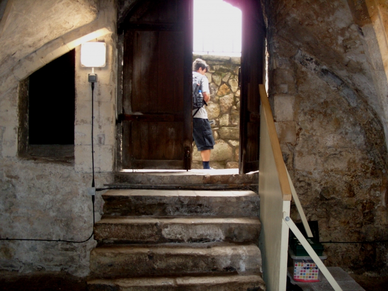
2. An early C14 ground floor room or undercroft of a mediaeval house thought to have been built by a stone mason from Beaulieu Abbey. Built of stone rubble with arched doorcase down 8 steps. Three windows, one a single light window with shouldered head, the others 2-light shouldered headed windows. The undercroft was originally a shop and there was living accommodation above. Two intersecting quadripartite rib vaults with 2 fine bosses one probably a Head of Christ, the other a female head. Stone hooded fireplace with ball flower ornament. C15 brick floor. Above the undercroft are a pair of brick council houses built in 1902, the first in Southampton, but not of special architectural interest. This undercroft is the most elaborate of the surviving stone vaulted undercrofts of Southampton. Scheduled as an ancient monument.
Listing NGR: SU4255313582
External links are from the relevant listing authority and, where applicable, Wikidata. Wikidata IDs may be related buildings as well as this specific building. If you want to add or update a link, you will need to do so by editing the Wikidata entry.


Other nearby listed buildings