Latitude: 54.3757 / 54°22'32"N
Longitude: -2.1045 / 2°6'16"W
OS Eastings: 393307
OS Northings: 497805
OS Grid: SD933978
Mapcode National: GBR FKRV.56
Mapcode Global: WHB58.N81V
Plus Code: 9C6V9VGW+75
Entry Name: Ivelet Bridge
Listing Date: 7 December 1966
Grade: II*
Source: Historic England
Source ID: 1179137
English Heritage Legacy ID: 322224
ID on this website: 101179137
Location: Ivelet, North Yorkshire, DL11
County: North Yorkshire
District: Richmondshire
Civil Parish: Muker
Traditional County: Yorkshire
Lieutenancy Area (Ceremonial County): North Yorkshire
Tagged with: Road bridge Packhorse bridge
SD 99 NW
14/139
7.12.66
MUKER
IVELET
Ivelet Bridge
GV
II*
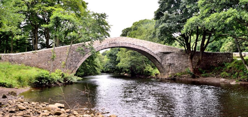
Bridge. Late C16. Rubble. Semicircular arch of rubble voussoirs,
surmounted by smaller stones forming hoodmould. Segmental coping to
parapets. Parapet curves round at north-east corner.
Listing NGR: SD9330797805
External links are from the relevant listing authority and, where applicable, Wikidata. Wikidata IDs may be related buildings as well as this specific building. If you want to add or update a link, you will need to do so by editing the Wikidata entry.


Other nearby listed buildings